
In addition to improving the impact of fishing on sensitive species and juvenile fish, ECO-CATCH focuses on impacts on sensitive habitats and key nursery areas.
Under this Work Package, ECO-CATCH’s solutions will help to:
IMR, ILVO
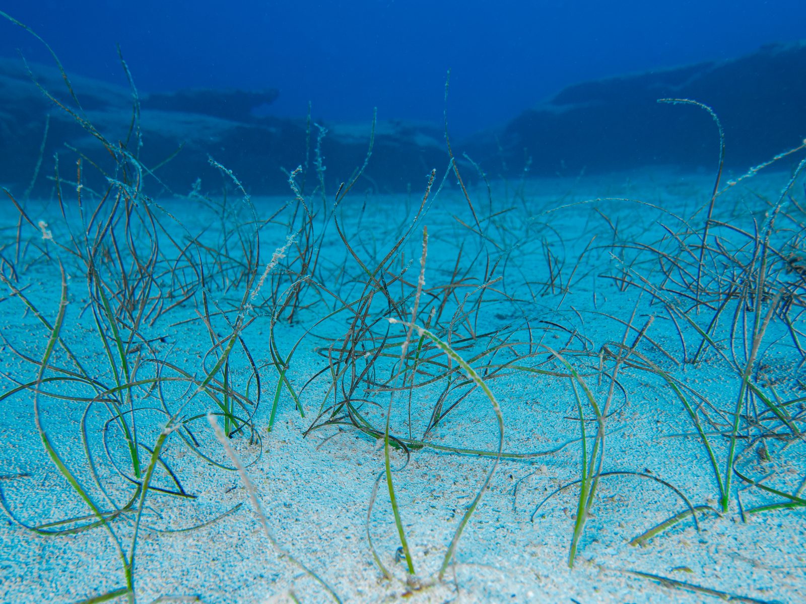
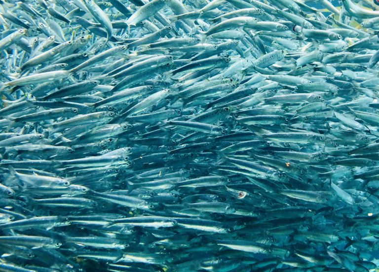
ECO-CATCH will identify and map important habitats for fish spawning, and early and juvenile life stages. Mapping will focus on fish species that are vulnerable to climate change, and or commercial fishing pressure, including: cod, saithe, Norway pout, haddock, whiting, lesser sandeel, herring, mackerel, and blue whiting; as well as flatfishes such as common sole, European plaice, lemon sole, and turbot.
IMR, ILVO, SLU
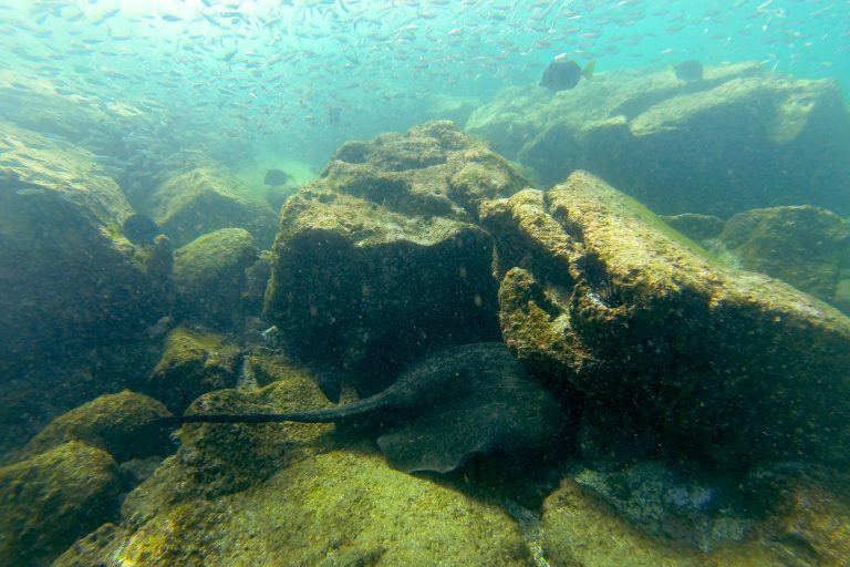
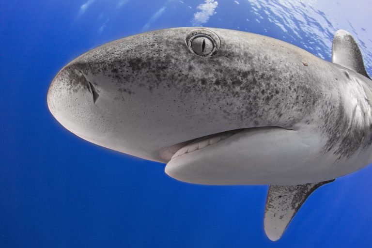
In addition to focal fish species, ECO-CATCH will identify and map important habitats and core habitats for sensitive (ETP) species. Sensitive species subject to bycatch in ECO-CATCH’s case study fisheries include: elasmobranchs such as spurdog, porbeagle, greenland shark, basking shark, flapper, and common blue skate; bony fishes like Atlantic bluefin tuna; marine mammals such as harbour porpoise; and seabirds. ECO-CATCH will also collect environmental DNA (eDNA) data to help improve our understanding of where fish and sensitive species live during critical life stages.
ILVO, IMR, DTU
Under Work Package Two, ECO-CATCH will combine the fish, habitats, and sensitive species maps with updated fisheries effort maps, to assess areas of overlap and to identify high-risk areas for bycatch of juvenile fish and sensitive species. ECO-CATCH will also consider other external factors affecting fisheries such as climate change, and human induced changes to the environment.
Thunen Institute, IMR, ILVO, DTU, SLU
Building directly on the above work, ECO-CATCH will bring together species experts to conduct a bycatch and habitat risk assessment (ByHRA) based upon a set of agreed upon habitat and species risk scores. The results will support policy recommendations across the North Sea and Baltic Sea basins.
Contact us:
info@eco-catch.eu
Follow us: